CARIBOU, Maine — Updated forecasts by the National Weather Service Monday evening showed several trouble spots caused by continued showers and runoff in northern Maine.

Waters of the St. John River overflow into Riverside Park in Fort Kent late Saturday morning. (Andrew Birden | SJVT/FhF)
Shortly after 5 p.m., NWS meteorologists out of the Caribou office upgraded the severity of a flood warning for the Fish River at Fort Kent and Wallagrass from minor to moderate flooding.
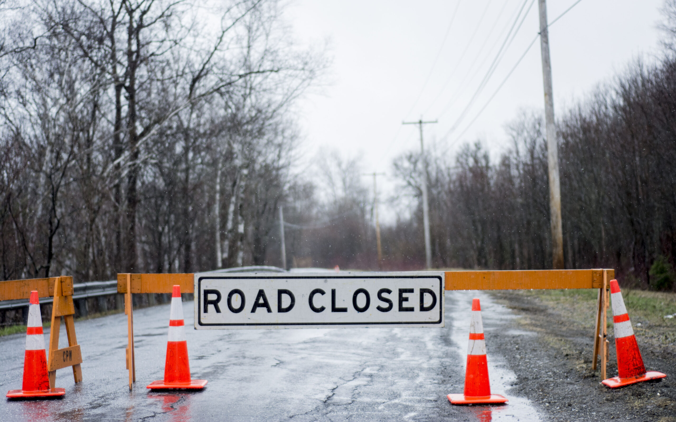
Just before 5 p.m. Monday, the river was a half foot above flood stage of 11 feet, forcing the closure of Soldier Pond and Bouchard roads in Wallagrass.
Some Wallagrass residents evacuated their homes as the Fish River spilled about 6 inches of water onto Bouchard Street.
“Everyone but one person is gone from that street. So far, everyone else seems to be in their homes waiting it out a little bit. Some have pumps running and are doing the best they can,” town manager Lana Voisine said early afternoon.
The weather service also warned late Monday that lake water levels in northern Maine are expected to continue rising over the next several days.

Overflow from the swelling Fish River creeps toward the B and M Apartments in Fort Kent on Monday, April 30. (Jessica Potila)
“The rising lake levels and lake ice could pose a threat to life and property,” the NWS stated in a flood advisory posted on its website at about 5:30 p.m. Monday.
People living or traveling on roads near Portage Lake and the Fish River chain of lakes are urged to “be alert for the rising water and be prepared to take actions if flooding threatens.”
Locations already experiencing flooding or expected to included Portage Lake, Fish River Lake, Big Machias Lake, and Little Machias Lake.
On again, off again flood warnings concerning the St. John River at Fort Kent were back on again Monday evening, with the NWS forecasting the potential for the river to rise to near 22.8 feet sometime Tuesday afternoon. Minor flooding was expected until waters recede below flood stage of 22.5 feet late Tuesday or early Wednesday.
Between 15 and 20 full-time residents of Pelletier Island in St. Agatha also were keeping a close eye on Pelletier Island Road, where rising water from Long Lake lapped over the causeway on Monday.
Town Manager Aubrie Michaud said the water level of the lake was more unpredictable than area rivers because of the ice that had not released yet.
“If the ice starts to shift, ice will go over the road,” she said. “The road is solid and it has been there a long time, but it can be an issue” if the ice starts going over.
Michaud said many island residents likely would just hunker down, but that she was in communication with folks and with officials at the Aroostook County Emergency Management Agency in case help was needed.

A swelling Fish River flows just under the Fish River Bridge in Fort Kent as vehicles drive across at about noon Saturday. (Andrew Birden | SJVT/FhF)
Town Clerk Theresa Albert, who lives on the island, said she was not taking any chances and left work for a bit Monday morning to get her dog before it became impassable. She planned to stay at her mother-in-law’s in Madawaska until the situation stabilized.
Further south, a flood warning remained in effect until further notice for the Mattawamkeag River above Mattawamkeag, where minor flooding continued Monday with water levels at 15.5 feet, 2 feet above flood stage of 13.5 feet. At 15 feet, the river flooded and shut down the Bridge Road in Haynesville in southern Aroostook on Saturday. At 16 feet, the river begins to flood along River Road in Mattawamkeag and Lancaster Road in Kingman.
Darren Woods, Aroostook County emergency management director, said Monday that several roads were still washed out or closed due to flooding or water damage. The McIntyre Road in Woodland was closed due to damage. The River Road in Caribou also is breaking apart, said Woods, and a state geologist is connecting with the town to see about repairing the damage.
For more information on river levels and forecasts, visit online https://www.weather.gov/car/ and the Aroostook County Flood Watch Facebook page.
Fiddlehead Focus writer Jessica Potila contributed to this report.


