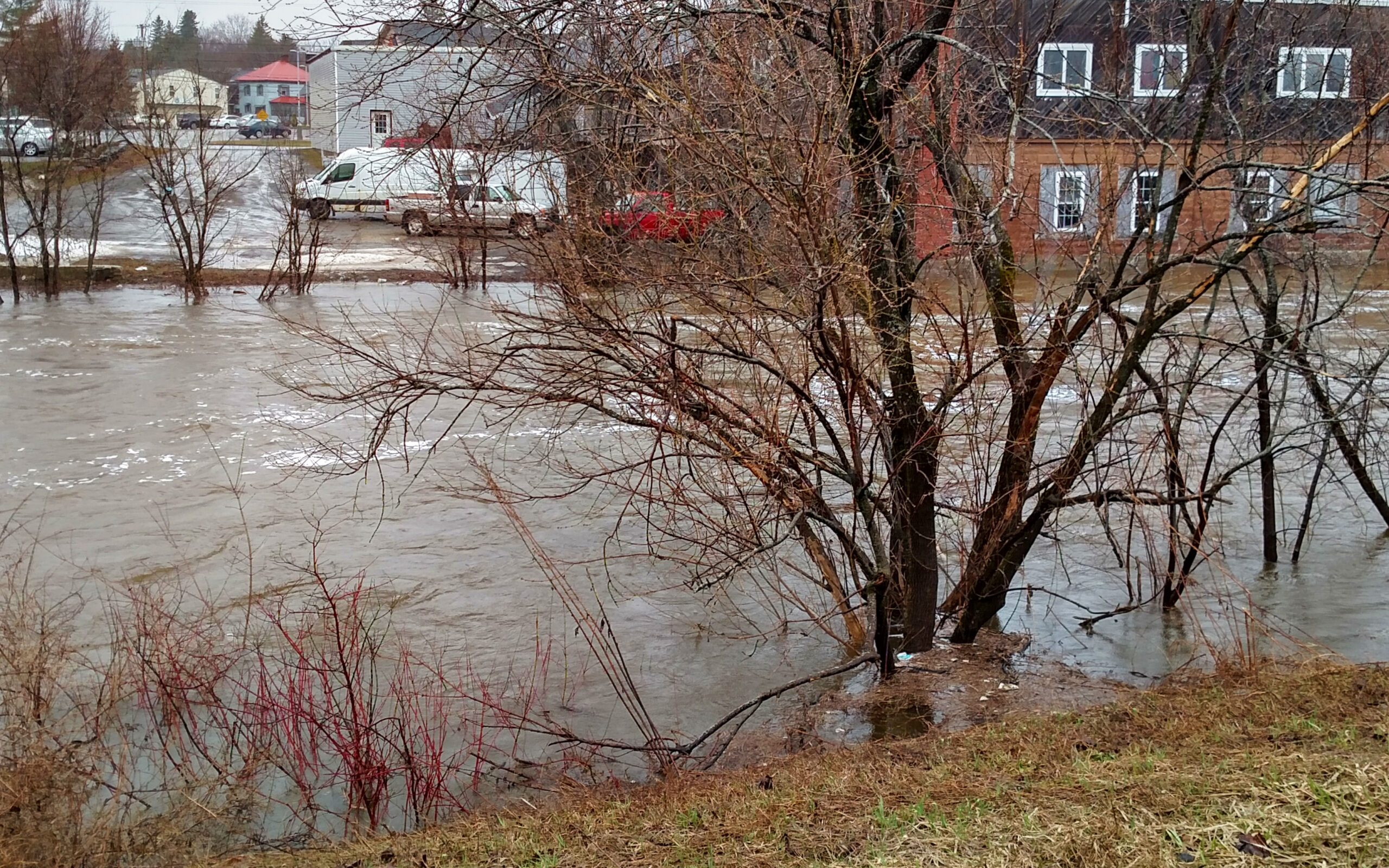
CARIBOU, Maine — Heavy rain and melting snow prompted the National Weather Service to issue a flood warning Thursday alerting motorists in northern Maine to steer clear of river banks and culverts.

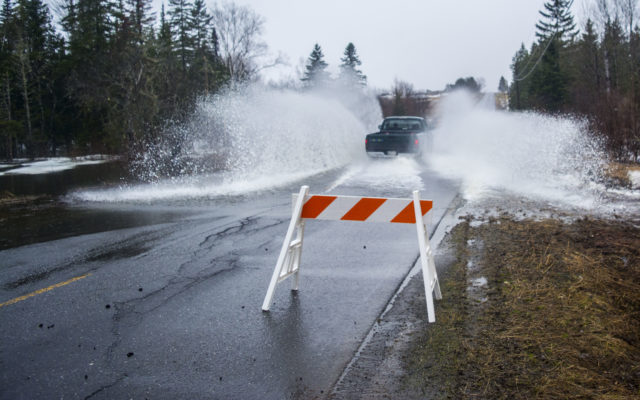
Heavy rain and melting snow cause culverts to overflow Thursday afternoon on the Carson Road in Woodland. The National Weather Service issued a flood warning shortly after noon for Aroostook and northern Penobscot and Washington counties. (Christopher Bouchard | Aroostook Republican)
The warning issued shortly after noon indicated that some roads in Aroostook County, including Henderson Road west of Easton and Currier Road in Fort Fairfield were closed due to high water. In Littleton, the Foster Road had flooded slightly by late afternoon, and crews had placed cones and signs around the area.
Heavy rainfall of one half to one inch was expected across Aroostook and northern Penobscot and Washington counties Thursday, according to the NWS forecast.
“This rainfall along with rapid snowmelt will lead to flooding of smaller streams and brooks,” the warning stated.
While officials with the weather service and emergency management services are monitoring these small brooks, they’re also keeping an eye out for the flood potential in larger rivers such as the Aroostook, St. John, and Little Madawaska rivers in The County.
“Major rivers will take a little longer to respond to the water before they take off,” Joe Hewitt of the NWS said, adding that he and other NWS officials are watching all of them.
He said that the Aroostook River in Washburn, for example, “has the potential to go to a near flood stage by Friday.”
“Even up in the St. John Valley,” he said, “the Fish River and the St. John River have a chance to get close to a near-flood stage by the weekend.”
Much of the rest of the state meanwhile is under a lesser flood watch, one step below an NWS advisory and two steps below a warning. The watch is in effect through Saturday afternoon.
Hewitt said that a watch is a “heads up to keep people aware” of possible flooding, that an advisory is for “minor nuisances” and that the organization does not issue warnings unless “we think they might start closing numerous roads.”
Aroostook Emergency Management Agency Director Darren Woods said that while much of the snow has melted, there is still quite a bit in the woods that will “add to our rivers and streams” as it turns to water.
“We’re asking folks to continue being vigilant as rivers and streams continue to rise,” he said. “We posted on our Facebook page (Aroostook County Flood Watch) that the Currier Road in Fort Fairfield is closed, and are keeping an eye on the normal spots such as the Fish and St. John rivers, and by the bridge on Route 11 in Masardis.”
Both Woods and Hewitt said advisories will likely continue throughout the weekend, and Woods said motorists should be “cautious while driving, especially at night.”
“Don’t drive through any barricades,” Woods said. “Heed the warnings of public safety officials.”
Hewitt advised motorists to pay attention and prepare to hydroplane on certain roads as snow is released concurrently with the heavy rain.
“For heaven’s sake, stay away from the rivers,” Hewitt said. “There’s some excitement and some people want to see what’s happening, but the rivers, especially the Aroostook and Madawaska rivers, are moving at a good clip. It’s wise to just stay away from the waterways.”
- A motorist makes waves as he drives his truck through a flooded section of the Carson Road in Woodland on April 26. (Christopher Bouchard)


